
Va’a · Race tracking
VA’A Tracker
Follow the race. Relive every crossing.
A web viewer for following va’a crews across the islands of French Polynesia: GPS positions, race rankings, replays and sea conditions on one map, around Hawaiki Nui Va’a.
vaatracker.manuiageek.comAccess requires a password.
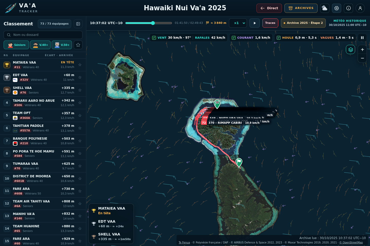
The race, on your terms
Everything sits on one map, so a stage reads at a glance, on a large screen or in your hand.
Live GPS positions
When an event is broadcasting, crews appear on the map at their latest GPS positions as the race unfolds.
Replays with a timeline
Watch a stage again: play, pause, change the speed and move along the timeline to see how the race took shape.
Rankings, categories, favourites
Follow the ranking and the gaps between crews, filter by category and keep your favourite crews in sight.
Wind, swell and currents
Weather layers sit alongside the GPS tracks, so you can see the sea the crews were paddling into.
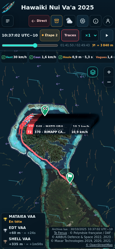
Six stages to relive
The replay collection covers Hawaiki Nui Va’a 2025 and 2026, stages 1 to 3.
Hawaiki Nui Va’a 2025
- Stage 1
- Stage 2In the captures
- Stage 3
Hawaiki Nui Va’a 2026
- Stage 1
- Stage 2
- Stage 3
Read the conditions around the race
Wind, swell, waves and currents, shown alongside the GPS tracks to put each crossing in context.
- Wind
- Swell
- Waves
- Currents
Map and weather layers are informative. They are not a navigation aid, nor a certified simulation or local forecast.
Ready for the start?
Open the race viewer in your browser, on desktop or mobile. An access password is required to enter.
Go tovaatracker.manuiageek.comCredits. Map imagery shown in the captures: Te Fenua · Polynésie française / DAF · © OpenStreetMap contributors. GPS race data: GeoRacing. Historical weather: Copernicus.